Starlink Satellites Got Hijacked for… Science—and the Results Are Unbelievable – The Daily Galaxy –Great Discoveries Channel
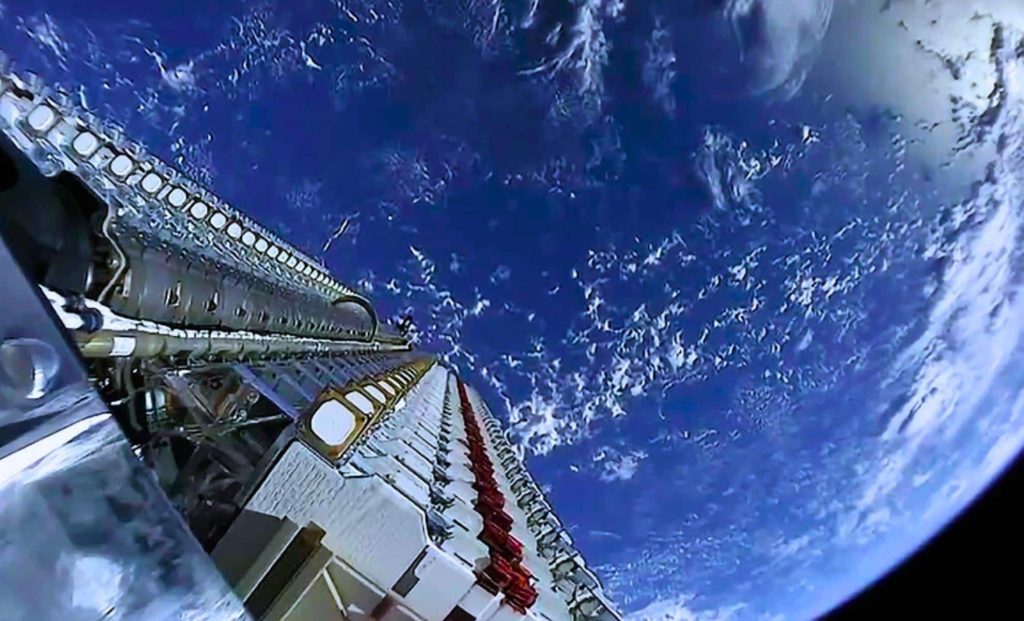
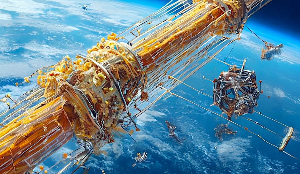
Scientists have unlocked a hidden capability in Starlink’s satellite network, revealing an unexpected way to study our planet. This breakthrough taps into signals never meant for scientific research, opening new possibilities for Earth monitoring.Researchers from TU Graz have found a way to use Starlink and other communication satellites for climate research and Earth monitoring. By analyzing how their signals change due to the Doppler effect, they can track gravitational field variations, monitor sea level changes, and even observe real-time weather phenomena.Traditionally, communication satellites like those from Starlink, OneWeb, and Amazon’s Project Kuiper are designed for internet and telecommunications, not scientific observations. However, a team from the Institute of Geodesy at TU Graz realized that these satellites generate a vast and continuous stream of signals that could be repurposed.By studying the frequency shifts in these signals as they travel through space, the researchers have managed to extract valuable information about Earth’s gravitational field and environmental changes. This breakthrough comes as part of the FFG project Estimation, which explores alternative data sources for geodetic measurements.The core principle behind this technique is the Doppler effect—the same phenomenon that changes the pitch of an ambulance siren as it moves past an observer. When a satellite moves relative to a ground station, the frequency of its signal shifts slightly. By tracking these shifts, scientists can determine how the satellite’s orbit is affected by Earth’s gravitational field.Changes in sea levels, groundwater reservoirs, and ice masses all influence gravity, causing subtle shifts in satellite motion. By detecting these shifts, researchers can map environmental changes with unprecedented detail.One of the biggest obstacles to this research is the lack of public data on Starlink and other communication satellites. Companies like SpaceX, OneWeb, and Amazon do not disclose the technical structure of their signals, making it difficult for scientists to analyze them. Additionally, precise orbital data and distance measurements for these satellites are not readily available, introducing potential calculation errors. Despite these challenges, researchers at TU Graz managed to detect constant frequency tones within Starlink transmissions. By tracking how these tones shift as satellites move, they could estimate positions with an accuracy of 54 meters. This isn’t precise enough for advanced geodetic applications, but it proves the method’s feasibility.The researchers are now working on improving accuracy by developing mobile tracking antennas that can follow satellites in real time. By increasing the number of measurement points and refining their signal processing techniques, they aim to reduce positional errors to just a few meters.If successful, this method could provide real-time, high-resolution data on Earth’s gravitational field and short-term environmental changes, such as:This new approach could complement traditional satellite geodesy missions and provide continuous, up-to-date insights into Earth’s changing environment.The ability to use existing communication satellites for Earth observation represents a major step forward in geodetic science. Instead of relying solely on specialized research satellites, scientists could leverage the thousands of Starlink and OneWeb satellites already in orbit, dramatically improving data availability and resolution.Philipp Berglez, a leading researcher at TU Graz, emphasized that while this method uses communication signals, it does not involve decoding or analyzing message content. The focus remains strictly on tracking satellite movements to improve our understanding of Earth’s gravitational field and climate changes.Comment Save my name, email, and website in this browser for the next time I comment.
© 2024 | Daily Galaxy | All rights reserved