NASA rewrites space navigation: Earth GPS linked to Moon, a first – Interesting Engineering
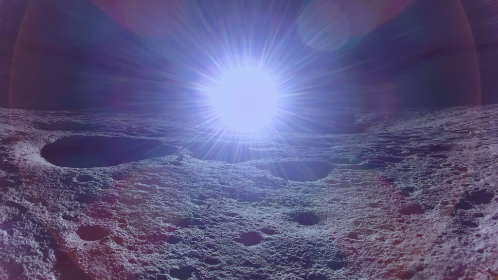
A navigation barrier has been finally broken on the Moon. 16 hours ago18 hours ago19 hours ago21 hours agoa day ago2 days ago2 days ago2 days ago2 days ago2 days ago8 hours ago9 hours ago11 hours ago13 hours ago14 hours ago15 hours ago15 hours ago15 hours ago16 hours ago16 hours agoMrigakshi DixitFirefly’s Blue Ghost lander captured its first sunrise on the Moon, marking the beginning of the lunar day and the start of surface operations in its new home. Firefly Aerospace
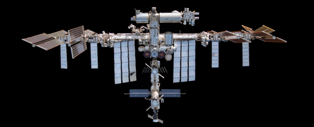
A navigation barrier has been finally broken on the Moon. For the first time, Earth’s Global Positioning System (GPS) has enabled navigation on the lunar surface.Without reliable navigation, exploring the Moon was like trying to find your way across a huge ocean without any sense of direction. Accurate navigation is highly important for future missions where humans will stay on the Moon longer under NASA’s Artemis program.On March 3, the Lunar GNSS Receiver Experiment (LuGRE) showcased that future explorers can use Earth’s Global Navigation Satellite System (GNSS) signals on the Moon. GNSS is a satellite network that provides precise positioning, navigation, and timing information.NASA developed LuGRE tech in collaboration with the Italian Space Agency. Firefly Aerospace’s Blue Ghost lander delivered it to the Moon. “On Earth, we can use GNSS signals to navigate in everything from smartphones to airplanes,” said Kevin Coggins, deputy associate administrator for NASA’s SCaN (Space Communications and Navigation) Program. “Now, LuGRE shows us that we can successfully acquire and track GNSS signals on the Moon. This is a very exciting discovery for lunar navigation, and we hope to leverage this capability for future missions,” Coggins added. The Blue Ghost lunar lander successfully landed on the Moon, delivering NASA’s LuGRE payload. Immediately after landing, NASA operators at Goddard Space Flight Center initiated LuGRE’s first scientific operations on the lunar surface.On March 3rd, at 2:00 AM Eastern time, history was made. LuGRE successfully acquired and tracked signals from GPS and Galileo constellations of GNSS. The tech proved its effectiveness by achieving a navigation fix from 225,000 miles.LuGRE triangulated its position by processing real-time tracking data from the numerous medium Earth orbit satellites that constitute the GPS and Galileo systems.This development is a stepping stone, indicating that advanced navigation systems and services can be established beyond Earth. The Blue Ghost lander’s 14-day mission on the Moon will allow the two space agencies to gather extensive data from the LuGRE payload. As per NASA’s statement, the LuGRE payload achieved another GNSS milestone during its trip to the Moon.Interestingly, it broke the record for the highest altitude GNSS signal acquisition on January 21st, reaching 209,900 miles from Earth. This record surpassed the previous one held by NASA’s Magnetospheric Multiscale Mission.On February 20, LuGRE further extended its GNSS altitude record upon reaching lunar orbit to achieve a distance of 243,000 miles from Earth. This achievement demonstrates that GNSS signals can be effectively used to navigate within cislunar space, the region between Earth and the Moon.Typically, NASA has relied on a multi-faceted approach to track spacecraft, combining data from onboard sensors with signals transmitted to and from Earth-based tracking stations. However, these methods require human support. Integrating GNSS data into navigation systems offers a potential solution for autonomous navigation. Also, it reduces the need for constant human intervention and streamlines operations.It has huge implications for NASA’s Artemis program and other missions venturing to Mars. Future missions can navigate more precisely and independently by determining their location, speed, and time without constant Earth-based tracking.Mrigakshi Dixit Mrigakshi is a science journalist who enjoys writing about space exploration, biology, and technological innovations. Her work has been featured in well-known publications including Nature India, Supercluster, The Weather Channel and Astronomy magazine. If you have pitches in mind, please do not hesitate to email her.Stay up-to-date on engineering, tech, space, and science news with The Blueprint.By clicking sign up, you confirm that you accept this site’s Terms of Use and Privacy Policy18 hours ago18 hours ago19 hours ago19 hours agoPremiumIE PROFollow
Source: https://interestingengineering.com/space/moon-tech-taps-into-earths-gps