Marvels on Mars: 10 astounding topographical features of the red planet – Interesting Engineering
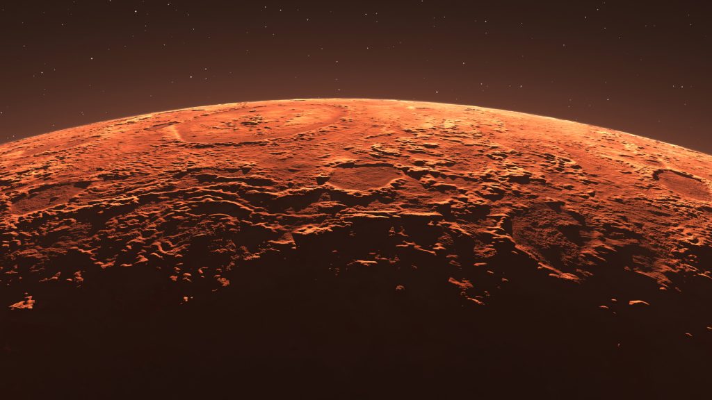
From the tallest volcano in the solar system to billions of years old craters. Here are ten of the most astonishing and extreme geological places on our neighboring red planet.14 hours ago18 hours agoa day agoa day agoa day agoa day agoa day agoa day ago2 days ago2 days ago23 minutes ago24 minutes agoan hour agoan hour agoan hour agoan hour ago2 hours ago2 hours ago5 hours ago8 hours agoSade AgardRepresentational image of Martian terrain and atmospherePitris/iStockMars, our neighboring red planet, possesses some of the most extreme topographical features within our solar system. Its colossal volcanoes, canyons and impact craters offer clues into its geological past spanning billions of years.Consider Olympus Mons for example, the largest volcano in the solar system that stands almost three times taller than Mount Everest. Or the Valles Marineris canyon system which stretches longer than the breadth of the US. Thanks to missions like Perseverance, Curiosity, and Opportunity, more of Mars’ geological features continue to be revealed. Some of which are landmarks when it comes to signs of water and potential Martian life. Interesting Engineering (IE) walks you through ten spectacular geological features on Mars so you can decide which one astounds you the most.Dubbed the largest volcano in the solar system, Olympus Mons stands at a height of 72,000 feet (13.6 miles). Located in the western hemisphere of Mars, between the Tharsis and Amazonis Planitia volcanic regions, Olympus Mons beats the Mount Everest by almost three times.Olympus Mons is a shield volcano that formed from a succession of lava flows over billions of years. Many scientists agree that the volcano began forming during Mars’ Hesperian Period—around 3.7 to 3 billion years ago.Unlike the volcanoes of Earth, Olympus Mons keeps growing because there are no plate tectonics on Mars. This means the lava does not get displaced but accumulates in one place. The base of Olympus Mons measures nearly 373 miles (600 kilometers)—that’s about the width of Italy or the Philippines! The structure itself implies that Mars was very active in its geological past.Valles Marineris is a massive canyon system—the largest in our solar system. It’s around 2,500 miles (4,000 kilometers) long, which equates to being roughly ten times longer than the Grand Canyon and five times deeper than it. Better yet, if Valles Marineris existed on Earth, it would be longer than the US.Based near Mars’ Equator, Valles Marineris is believed to have formed due to tectonic activity on the planet. Over time, landslides, erosion, and ancient water flow may have widened and deepened the valley. The canyon features some of the deepest sections plunging to almost 4.3 miles (7 kilometers). With ancient rock exposed, these offer clues about the planet’s geological history, past climate and water.The Tharsis Volcanoes are a group of colossal shield volcanoes on Mars. They form part of our solar system’s largest volcanic region—the Tharsis volcanic plateau.This plateau covers around 25% of Mars’ surface and is home to Olympus Mons. The region also includes the volcanoes Ascraeus Mons, Pavonis Mons, and Arsia Mons. From space, these three volcanoes are arranged in an almost straight line along Mars’ equator. The formation of these volcanoes is remarkably different compared to Earth. As mentioned earlier, Mars does not have tectonic plates. This means lava accumulates in the same place repeatedly for billions of years, allowing volcanos to rise to extraordinary heights. Many scientists believe the Tharsis region’s volcanic activity influenced Mars’ climate, air and even surface fractures.Hellas Planitia is among the deepest and largest impact basins in the solar system. It is positioned in the southern hemisphere of Mars. It is roughly 1,400 miles (2,300 kilometers) wide. It also marks the lowest point of Mars, as it plunges up to 4.3 miles (7 kilometers) below its surroundings.It is thought that Hellas Planitia developed about four billion years ago—during the Noachian Period—when a colossal asteroid smashed into Mars.It was during this time that Mars experienced the Late Heavy Bombardment (LHB)—a period of intense asteroid bombardment in the early solar system. Scientists theorize that the Hellas Planitia was then shaped by volcanism, wind, ice, and possibly ancient water.Interestingly, due to its depth, Hellas Planitia possesses a more substantial atmosphere than most sites on Mars. This results in greater air pressure with frost or fog occasionally witnessed in the area.The Medusae Fossae Formation (MFF) is an enigmatic feature of Mars that spans over two million square miles (five million square kilometers). It is made up of giant wind-eroded deposits and is near the planet’s equator. MFF is thought to be roughly three billion years old which corresponds to Mars’ Hesperian period. Scientists speculate that it is composed of soft, easily erodible material. This may have originated from volcanic ash, wind-deposited dust, or sediments from ancient water bodies. Radar scans suggest MFF is unusually porous, with deposits possibly being some of the least dense solid material on Mars.MFF’s origins are still hotly contested, but a popular theory is that explosive volcanic eruptions from the nearby Tharsis volcanic region spewed massive quantities of ash that eventually consolidated into rock. Strong Martian winds then sculpted the land into strange ‘yardangs’ (wind-carved rock formations), valleys, and ridges.Gathering further knowledge of MFF can tell us more about Mars’ climatic history and shed light on its former volcanic activity, and atmospheric conditions. It may have contributed to the formation of the planet’s atmosphere during Mars’ ancient times when liquid water was thought to be present.Gale Crater is the name of a huge impact crater on Mars with a diameter of approximately 96 miles (154 kilometers). Scientist estimate it to be between 3.5 and 3.8 billion years old. One leading theory suggests Gale Crater was the result of a large comet or asteroid colluding against Mars during the Noachian or early Hesperian periods.The center of Gale Crater contains Mount Sharp (Aeolis Mons)—an 18,000-foot (5.5 kilometers) mountain composed of sedimentary rock. Scientists speculate that the presence of these sedimentary deposits is evidence of ancient lakes and rivers. Sulfate deposits and minerals suggest liquid water once existed in the Gale Crater, potentially creating habitable conditions for microbial life.NASA’s Curiosity rover has been actively exploring Gale Crater since 2012. Its mission involves studying the Gale Crater’s rock layers and seeking organic compounds. Since its landing, the rover has aided scientists in figuring out the multiple stages of how Mars transitioned from a warmer and wetter planet to the cold and dry world of today.Utopia Planitia is a large plain within Utopia—the largest recognized impact basin on Mars and in the solar system. Situated on the planet’s northern hemisphere, it has an estimated diameter of 2,100 miles (3,300 kilometers), which is roughly larger than the combined areas of Alaska and Texas.Scientists estimate Utopia Planitia to be around 3.5 billion years old, corresponding to the Noachian-Hesperian transition on Mars. After NASA’s Mars Reconnaissance Orbiter (MRO) detected buried water ice beneath its surface in 2016, scientists believe Utopia Planitia may have once contained a shallow ocean or vast glacial deposits.In addition, the region is known for being the landing site of NASA’s Viking 2 lander in 1976, which did some of the earliest tests for Martian life. More recently, China’s Zhurong rover visited Utopia Planitia in 2021, producing new details about the planet’s climate history and subsurface composition.Noctis Labyrinthus is a vast network of canyons and valleys on Mars located between Tharsis and the Valles Marineris. It extends 740 miles (1,190 kilometers) in length and resembles a labyrinth. The valleys of Noctis Labyrinthus have a depth of up to 3 miles (5 kilometers) and reveal ancient Martian rock.Scientists believe that the landscape has also been shaped by past water activity, wind erosion, and landslides. Hydrated minerals detected through orbital observation suggest the presence of liquid water in the past.The complex geology of Noctis Labyrinthus paired with the possibility of ancient water makes this a prime target area for future exploration. Understanding this area could increase our understanding of Martian tectonics and the possibility of past habitability.Cerberus Fossae is located in the southeastern part of Mars and is characterized by a set of semi-parallel fissures that spread 620 miles (1000 kilometers) across the planet. Some researchers believe that the fissures could be a source of subsurface ice, or liquid water which brings up further questions on habitability.The fissures are estimated to be between 2 and 10 million years old, which is relatively young in geological terms. Scientists hypothesize that these fissures are the product of tectonic activity such as lava flows, and the potential presence of underground water.The InSight lander, which stands for ‘Interior Exploration using Seismic Investigations, Geodesy and Heat Transport,’ was able to detect marsquakes, suggesting that Mars is still seismically active.Reull Vallis is an ancient, dry riverbed located on Mars’ surface which stretches approximately 930 miles (1,500 kilometers) through the Promethei Terra region. Researchers believe that liquid water carved it out of the surface billions of years ago, making its location crucial in the exploration of Mars’ hydrologic history.The valley’s steep walls follow a winding course, resembling meandering river channels found on Earth. Its ridged floor has rough, grooved patterns indicating that glacial action most likely occurred. One theory is that it was carved by the flow of water which was once present in the region.Reull Vallis is one of the prominent features that reveals clues about the climatic history of Mars. It also offers insights into the primary phases of water and ice dominating the planet’s surface, helping scientists establish the time in which Mars changed from a wet world to the dry, cold desert we see today. Sade Agard Sade is a geology graduate and Fellow of The Geological Society of London who she has experience publishing for. She enjoys writing and editing features of a range of scientific topics, with special interest in Earth science. Based in Windsor, Sade enjoys travelling to various sites of outstanding nature and has also lived in Thailand for a year.Stay up-to-date on engineering, tech, space, and science news with The Blueprint.By clicking sign up, you confirm that you accept this site’s Terms of Use and Privacy Policya day agoa day agoa day agoa day agoPremiumIE PROFollow
Source: https://interestingengineering.com/lists/mars-astounding-topographical-features-red-planet