California’s Sea Level Projections May Be Flawed – The Daily Galaxy –Great Discoveries Channel
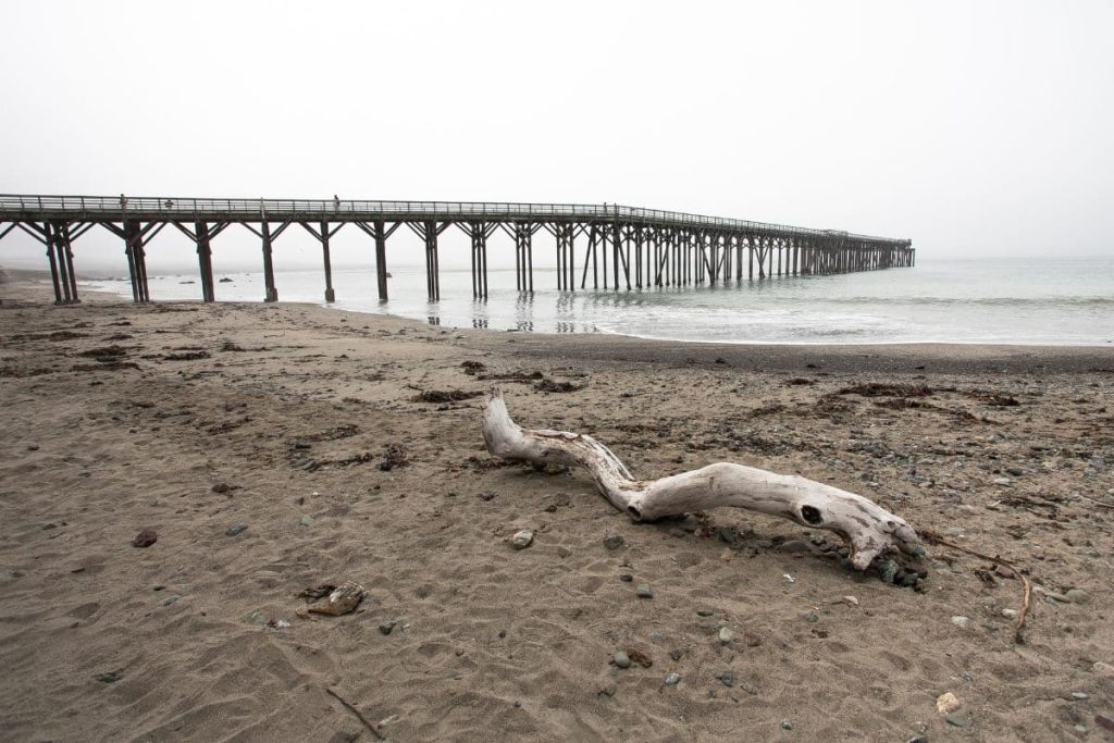
California’s coastline is facing a hidden threat that could make rising sea levels even worse—it’s not just the ocean that’s changing, but the land itself. NASA’s latest research reveals a shocking discovery that could put entire cities at risk. Is your area sinking faster than you think?California’s coastal cities face an increasing threat from rising sea levels, but a new study suggests that current projections may be significantly off. Researchers from NASA’s Jet Propulsion Laboratory (JPL) have found that sinking land, or subsidence, is playing a larger role than previously estimated. Their analysis reveals that parts of the California coast are subsiding at a much faster rate than expected, meaning that sea levels in some areas could rise far more dramatically than current predictions suggest.Using satellite radar data from the European Space Agency’s Sentinel-1 satellites and ground-based sensors, the JPL team analyzed over 1,000 miles of California coastline. Their study, published in Science Advances, compared recent satellite data (collected between 2015 and 2023) with historical observations. In particular, the San Francisco Bay Area is experiencing subsidence at a rate of over 0.4 inches (10 mm) per year, primarily due to sediment compaction. This process, which occurs when loosely packed soil compresses over time, is a major factor in land subsidence across the state. The study warns that in low-lying areas like San Rafael, Corte Madera, Foster City, and Bay Farm Island, local sea levels could rise by more than 17 inches (45 cm) by 2050.Groundwater extraction, where water is pumped from underground reservoirs, has long been known to cause the land above to sink. Similarly, hydrocarbon production, which involves drilling for oil and gas, can contribute to land subsidence.In regions like Los Angeles County and San Diego County, researchers found that these human-driven changes could increase sea level projection uncertainties by up to 15 inches (40 cm). This makes it harder to develop accurate models for future coastal flooding risks.At the same time, some areas of California are actually rising. In Santa Barbara’s groundwater basin and Long Beach, land is moving upward by several millimeters per year.Recognizing the importance of ongoing land monitoring, NASA JPL is launching the OPERA project (Observational Products for End-Users from Remote Sensing Analysis). This initiative will work in tandem with NISAR (NASA-ISRO Synthetic Aperture Radar), a joint mission between NASA and India’s space agency ISRO. These projects will provide high-resolution elevation data across North America, improving scientists’ ability to track subsidence, uplift, and other surface changes in real-time.With more accurate data, city planners and policymakers will be better equipped to design infrastructure that accounts for shifting land conditions.The implications of these findings are urgent. California’s coastal communities are already investing in climate resilience strategies, but outdated sea level projections could leave them unprepared for the actual risks ahead.With subsidence accelerating in key urban areas, local officials may need to revise flood maps, building codes, and emergency response plans to reflect the reality of a coastline that isn’t just being threatened by rising seas—but also by the very land beneath it sinking away.Comment Save my name, email, and website in this browser for the next time I comment.
© 2024 | Daily Galaxy | All rights reserved
Source: https://dailygalaxy.com/2025/02/california-sea-level-may-be-flawed/