DC region begins cleanup after winter storm brings heavy snow – WTOP
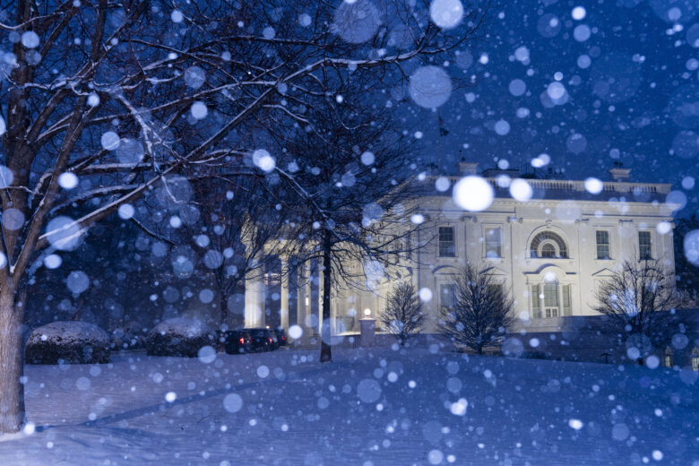
The White House is seen as the snow falls, Tuesday, Feb. 11, 2025, in Washington. (Photo/Alex Brandon)
BREAKING: Robert F. Kennedy Jr. confirmed as health secretary by the Senate
LOCAL SPOTLIGHT: Explore the little-known hidden features of DC’s Lincoln Memorial
WTOP Staff February 12, 2025, 2:51 PMThe D.C. area is digging out from several inches of snow as freezing rain moves through the region Wednesday.By the afternoon, the D.C. area is expected to see a wintry mixture of freezing rain and sleet that will eventually turn into rain. High temperatures will remain in the mid-30s for much of the day, with winds staying at about 5 mph.Wet weather will stick around overnight and areas of fog will develop.Much of the region saw between 3 and 8 inches of snow after Tuesday’s winter storm.In Virginia, the National Weather Service tallied 9.5 inches of snow in Manassas, while spots in or near Fairfax, Centreville and Arlington saw between 5 to 7 inches.In Maryland, parts of Charles County received 9 inches while parts of Calvert got nearly 8 inches.With ongoing precipitation, roads will remain wet with a few slushy and icy spots on bridges and overpasses. Many main roads have been cleared, but drivers should be cautious of slippery spots on secondary roads.Come Thursday, any leftover snow buildup on the roads will likely be washed out as the D.C. area is hit with another dose of rain. Temperatures are forecast to reach the high 40s before slumping back into the low 20s by nightfall.The start of the weekend will kick off with some sunny weather on Friday. But, that reprieve will be temporary as Saturday and Sunday are due to be rainy, according to the weather service.Want to see your snow day pictures featured on WTOP.com and on our social media? Send us your photos or videos using the WTOP News app’s Feedback tool. Download the app for Apple and Android phones.WEDNESDAY NIGHT:
Areas of rain (metro). Wintry mix to rain (mountains). Areas of Fog
Lows: 35-40
Winds: East 3-8 mphTHURSDAY:
Lingering showers end. Gradual clearing. Windy
Highs: 45-53
Winds: Southwest 10-15, Gusts to 30 mphFRIDAY:
Mostly sunny
Highs: near 40
Winds: Northwest 5-10 mph
SATURDAY:
Cloudy. Areas of rain
Highs: 40-45
Winds: South 5-10 mphNWS provided estimates of snow totals based off reports from trained spotters, local media and other sources. For a look at what parts of the D.C. area go the most snowfall, click here.Anne Arundel CountyCalvert CountyCharles CountyFrederick CountyHoward CountyMontgomery CountyPrince George’s CountySt. Mary’s CountyArlington CountyCity of AlexandriaCity of FredericksburgCity of ManassasCulpeper CountyFairfax CountyFauquier CountyLoudoun CountyPrince William CountyStafford CountyWTOP’s Jessica Kronzer contributed to this report.Get breaking news and daily headlines delivered to your email inbox by signing up here.© 2025 WTOP. All Rights Reserved. This website is not intended for users located within the European Economic Area.5425 Wisconsin Ave
Chevy Chase, MD 20815
hello@wtop.com
202.895.5000
Copyright © 2025 by WTOP. All rights reserved. This website is not intended for users located within the European Economic Area.